
Important!
Please read the notes before you download.
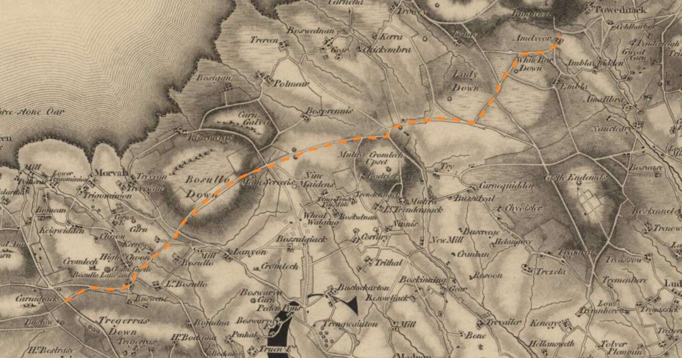
Ordnance Survey map of Cornwall from 1813 showing the route of an ancient trackway now known as the Tinners Way
| Uploaded | 2 years ago |
| Resolution | 1346 x 706 px |
| Size | 298.21 KB |
| Copyright | National Library of Scotland |
| Mime Type | image/jpeg |
Create your own Public Media Gallery Get started