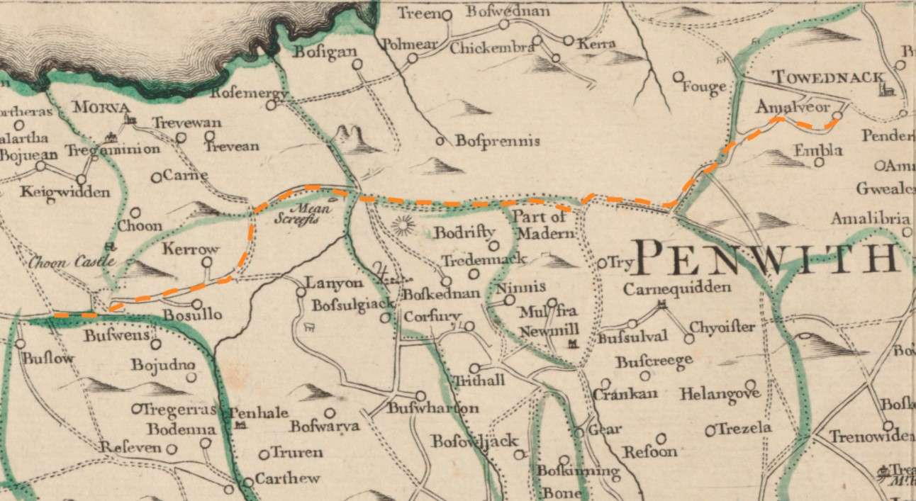
A map of Cornwall from 1748 showing the route of an ancient trackway now known as the Tinners Way
| Uploaded | 2 years ago |
| Resolution | 1292 x 707 px |
| Size | 227.73 KB |
| Copyright | National Library of Scotland |
| Mime Type | image/jpeg |
Create your own Public Media Gallery Get started